By Jack Huygens, 29 January 2024
Group: Tommy, Lewis, Lochie, Jack + Tilly (Tommy's dog)
Written by Jack Huygens
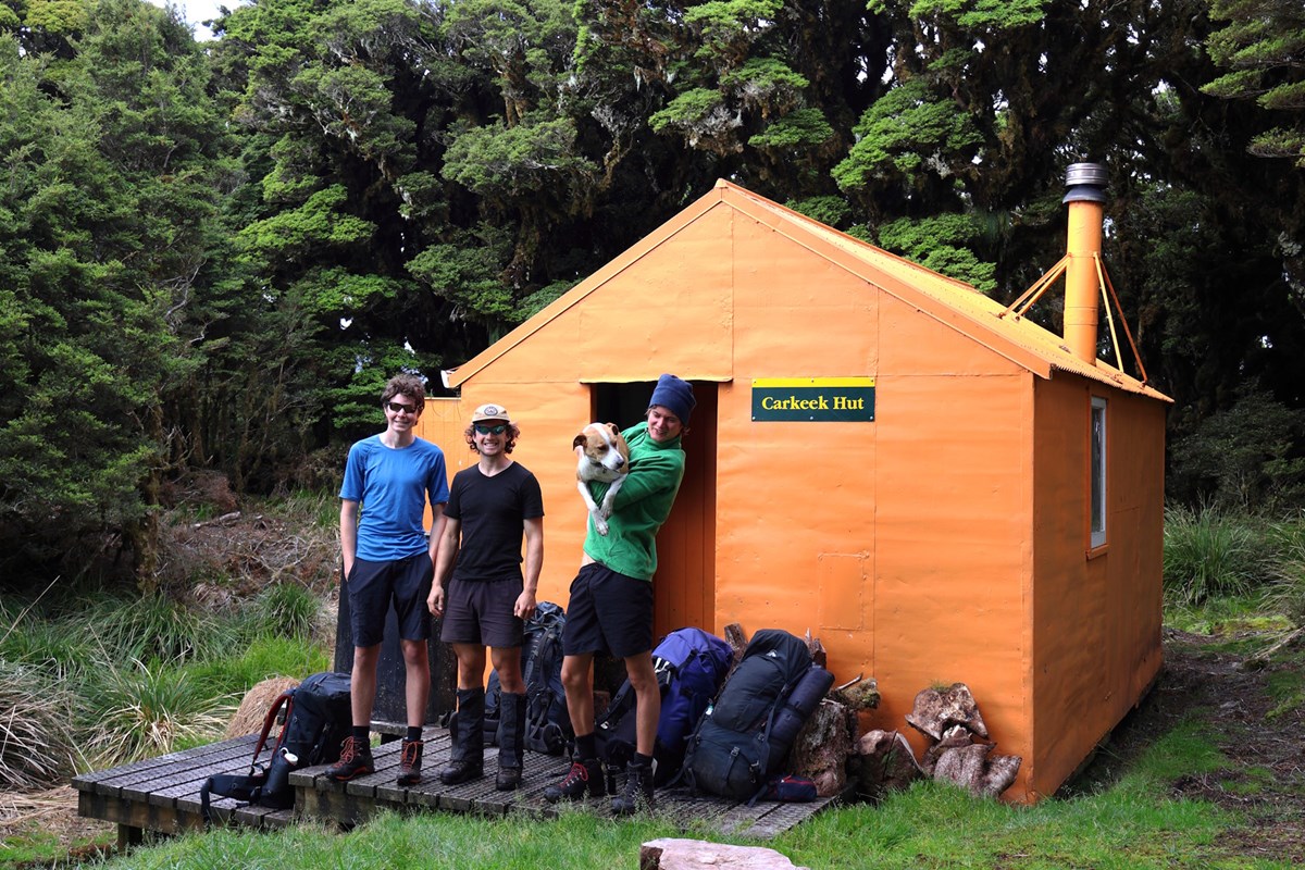
The "C" stands for Carkeek!
Carkeek hut is sometimes talked about as the "church of the Tararuas", because it's arguably the most remote hut in the entire range and reaching it is a special opportunity. There's no quick & easy route to get there, and it gets very few visitors.
So when on a Monday morning (after some prior chats about maybe doing a tramp sometime during the week) Lochie confirms that we're heading off for up to 6 days in the Tararuas, I got my pack sorted in a couple of hours notice and was ready to head out.
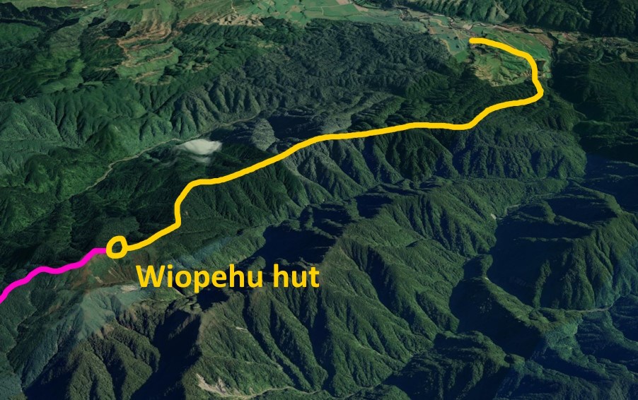
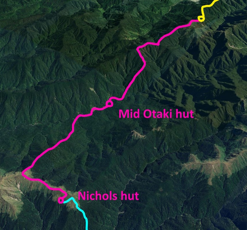
We started throwing around ideas for routes and destinations on the car ride up to Levin, with one big anchor in mind of definitely visiting Carkeek hut, and bagging as many rare and hard-to-reach locations along the way. With the majority of the route still undecided, we locked in the first couple of days: Walking up to Wiopehu hut for the first night, then doing a big bush-bash for the next day. Along Oriwa ridge, down to Mid Otaki Hut, then along a section of the Otaki river, then up a large unnamed spur up to Mt Crawford, staying in either Nichols or Anderson Memorial hut that night.
Day 1: first night at Wiopehu
Arriving relatively late in the afternoon, we got moving on the shortest day of the trip, heading up to Wiopehu from Poads Rd.
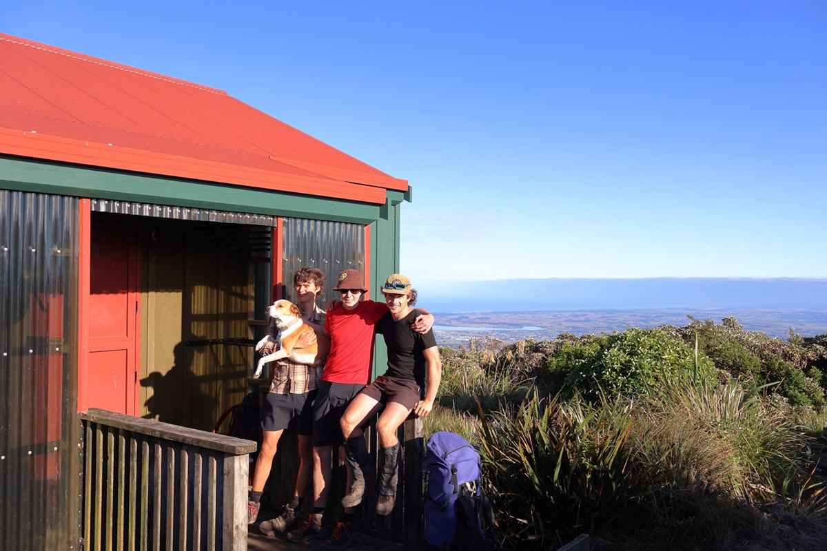
We walked up Disabled End (the newly named ridge alongside its neighbours Able End, and Gable End) while the sun set, reaching the hut in the dark. Since it was the first night, we had a pretty luxurious dinner of devilled sausages, all thanks to Tommy carrying in the heavy bag of pre-cooked sausages!
The sun rises the next morning to an absolutely stunning weather day, which suits us for the upcoming longest day of the trip.
Day 2: in and out of the Otaki
Our first goal of the day was to follow a lesser-travelled ridge along to Oriwa, the possible location of the mythic "hidden lake" of the Tararuas. This lake has been speculated to be in a few different locations, and one of them is here on the ridge just below Oriwa. There is no longer a lake here, just a swamp, due to earthquake movements draining the lake.
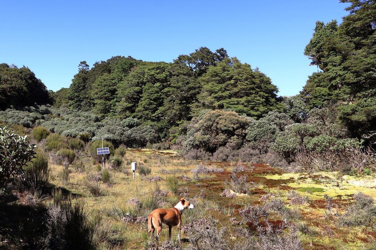
We then bush-bashed down a spur north of Murray Creek, getting a lot of practice with compasses and paper maps. The bush here is pretty easy going, and there's even a biodiversity monitoring line to follow once you get lower into the valley.
Down at river level we quickly reached Mid Otaki Hut, definitely one of the lesser visited huts in the Tararuas for sure (but no hut book to confirm). Though we did find a 2022 copy of HEELS in there! That's literally the only time I've seen a 2022 HEELS in the wild, and it's in the middle of nowhere.
Lochie also looses a pair of sunglasses alongside the river, within only a few meters of the hut, so if you're in the area keep an eye out for them! (a bounty reward is written up in the hut).
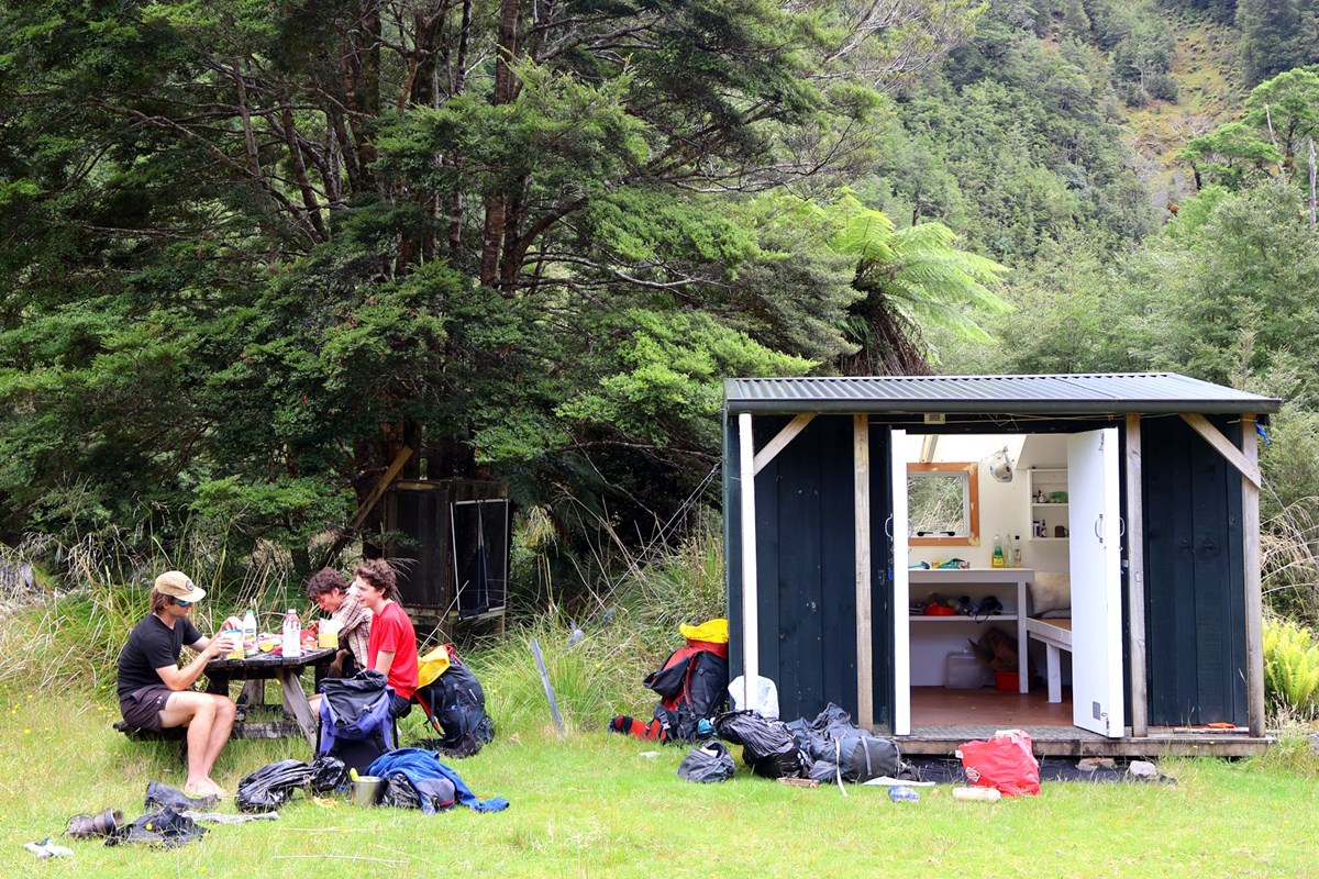
The next section is just a brief river-bash along the Otaki River, and includes a quick swim and some absolutely beautiful Tararua river scenery. Our navigation just involves keeping an eye out for Kelleher Creek off to our left, at which stage we leave the river and start a 5 hour bush-bash up to Mt Crawford.
Nearing the bush edge after a solid climb, we stop for some food and after a while of sitting around we suddenly notice a chunk of machinery (an airplane wing flap?) right next to us in plain sight. The moments later we spot an entire PLANE, just further up the spur. We head over and have a look, and it's an entire plane wreck that none of us knew about!
One day we need to organize a "bag all the plane wrecks in the Tararuas" tramp.
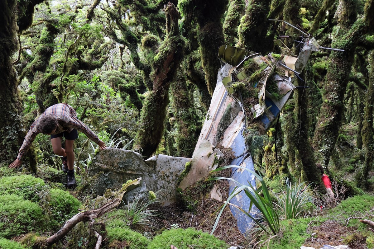
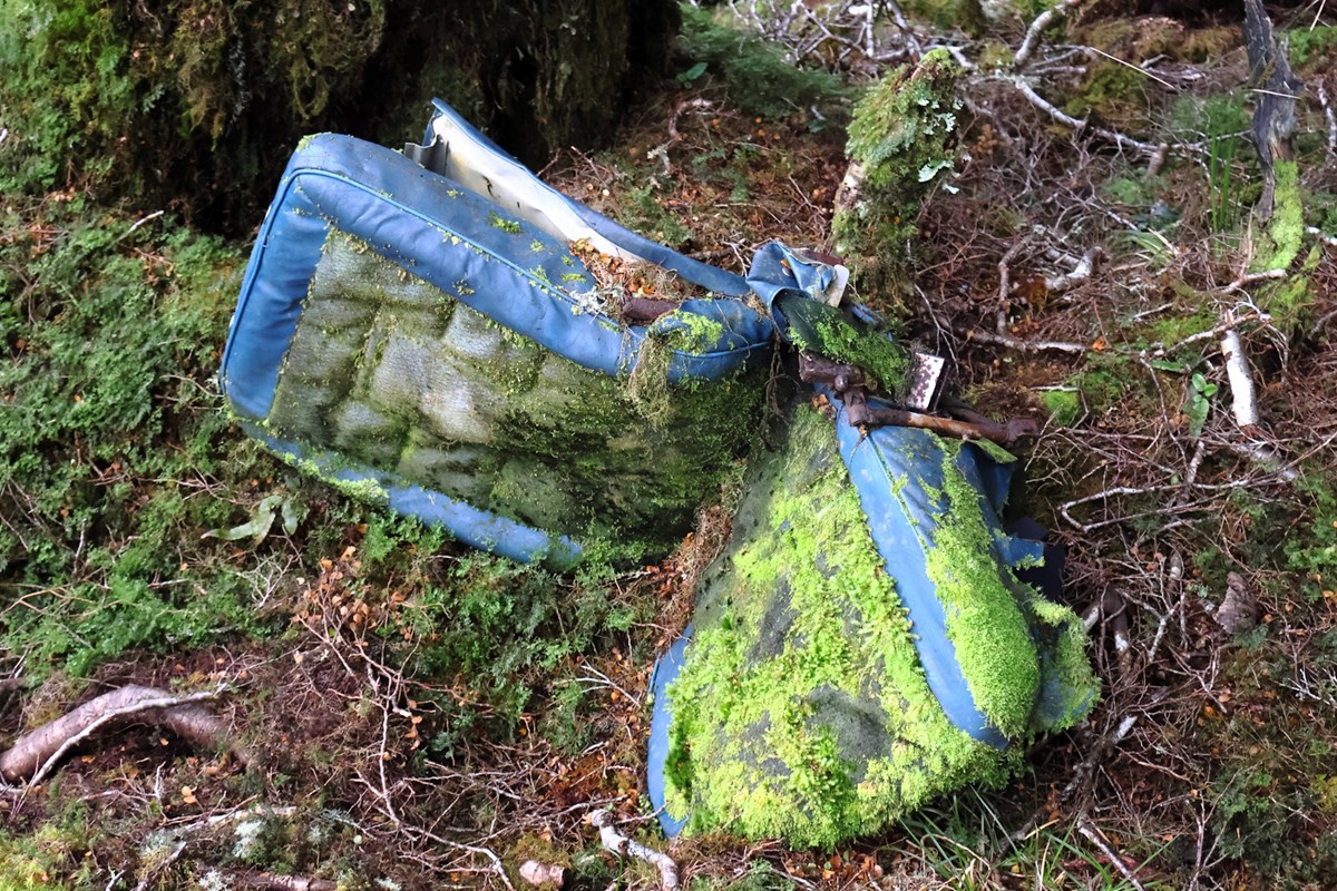
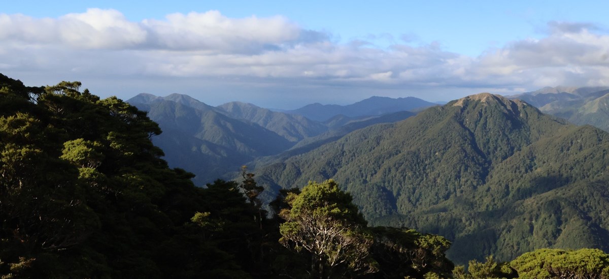
Once we break through the bush edge, we get amazing views of the surrounding range. Cloud starts to cover Mt Crawford, and we decide to make the much shorter journey to Nichols hut after already doing a solid 13hr day.
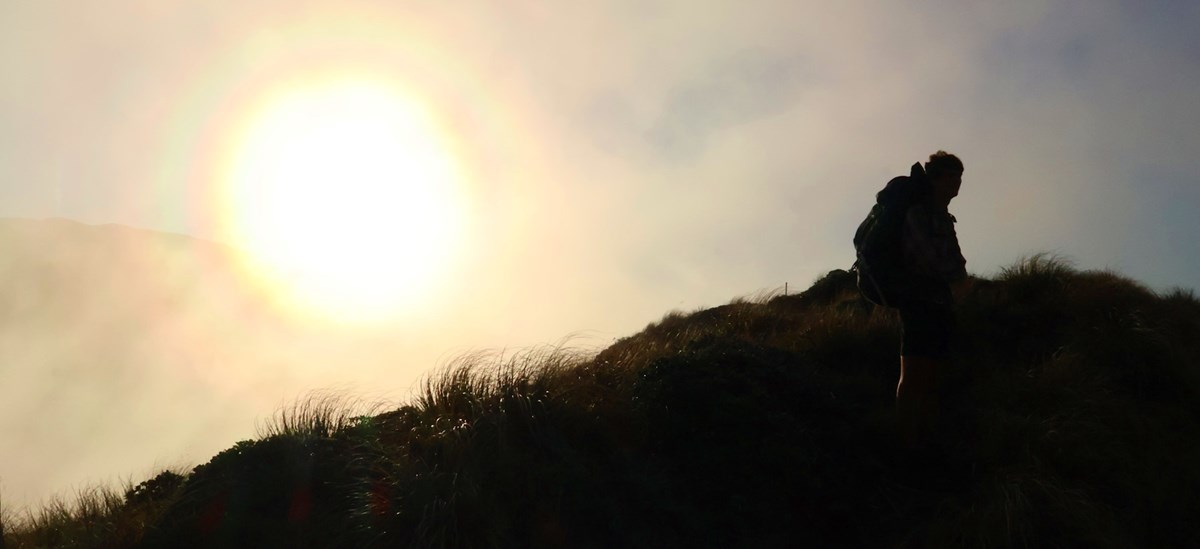
Despite worrying that Nichols would be packed to the brim with Te Araroa trampers, there was actually only one, and we had a great evening in the mist with a delicious cheesy pasta dinner.
Day 3: the spiritual heart of the Tararuas
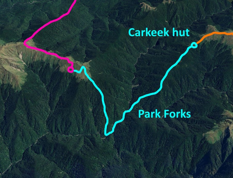
Now for the keystone of our trip! Visiting Carkeek hut and Park Forks.
From Nichols hut we briefly bashed across the scrubby open tops and through the bush edge to join the newly cut unofficial track down to Park Forks. Finding the start of the track was a bit of a challenge with no visibility on the misty open tops, since we needed to make sure we were on the correct spur. Excellent compass naviagion practice!
We eventually found the cut track and it was in excellent condition, thanks to the efforts of the Greater Wellington Backcountry Network (GWBN) volunteers. They have cleaned up a ton of old tracks in the Tararuas recently, and Park Forks was one of the main areas of focus. There are now several excellently marked and cleared tracks linking Carkeek, Nichols and Mcgregor biv to Park Forks.
We followed the track down to a fork in the spur where we made an impromptu choice to instead head down to the Dorset creek fork and bash up the small section of river to Park Forks (to scout that section of route for a future Carkeek picnic). Travel down this new spur was much more messy and navigation proved pretty difficult. Despite some occasional very steep drops and thick bush we made it down to the Dorset creek fork and joined the Wiohine river.
Travel up the Wiohine river to Park Forks is quite manageable, there are at least a few points with above waist deep pools so you need the bottom of your pack to be waterproof. This section of river is quite short, and we reached Park Forks in no time for a swim and lunch.
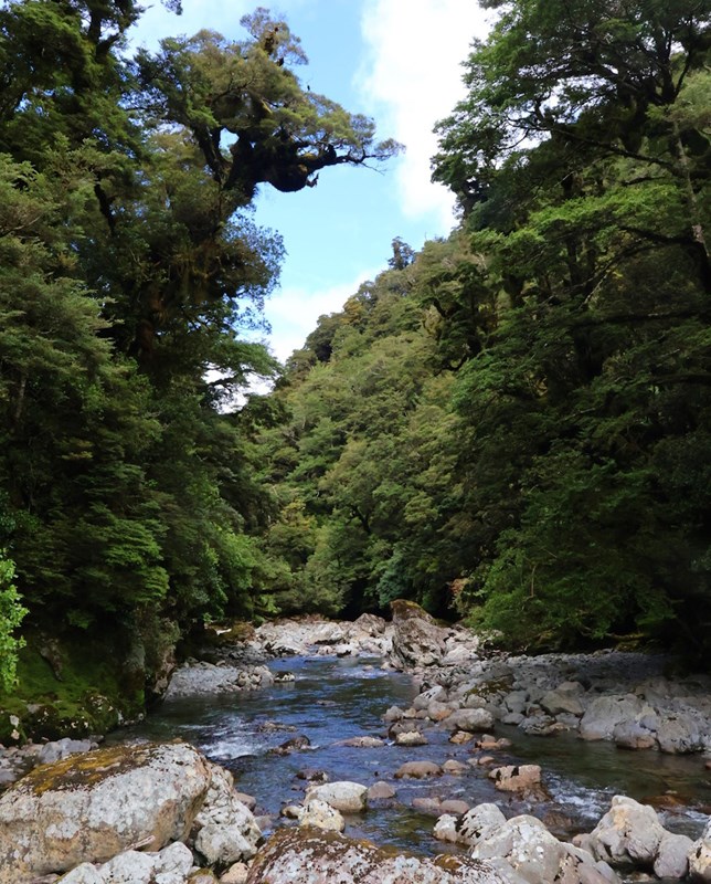
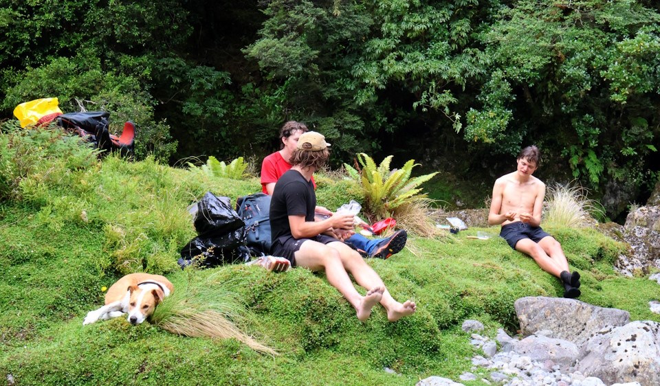
Park Forks is sometimes called the "spiritual heart of the Tararuas" since it's one of (if not the most) remote areas of the whole park. It's the headwaters of the Wiohine river (the largest river in the park) and also sits right below Carkeek hut, which is arguably the most remote hut in the range as well.
It definitely has a huge sense of remoteness, and it's at least 2 days tramping in and out in every direction, and no official DOC tracks reach this area.
Despite just going on about how sacred this area is... Lewis, Tommy and I went for a swim in the Park river side of the fork, and Lochie made use of the "Wiohine Bidet" over on the Wiohine river side of the fork. Little did we know that the spot he chose was exactly where we needed to walk to leave!
From here we followed another one of the newly cut GWBN tracks up the ridge to Carkeek. This track was in excellent condition and rivals most of the official Tararua tracks for quality. It has beautiful goblin forest along the entire track, from river level all the way to the bush edge.
Since this was a shorter day (at least compared to the 13 hour mish the day before) we had a good while to relax and watch the sun set from Carkeek hut. "You just can't buy this shit" was a well summed up vibe from Lochie, this really feels like a very special and remote place!
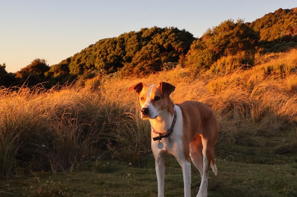
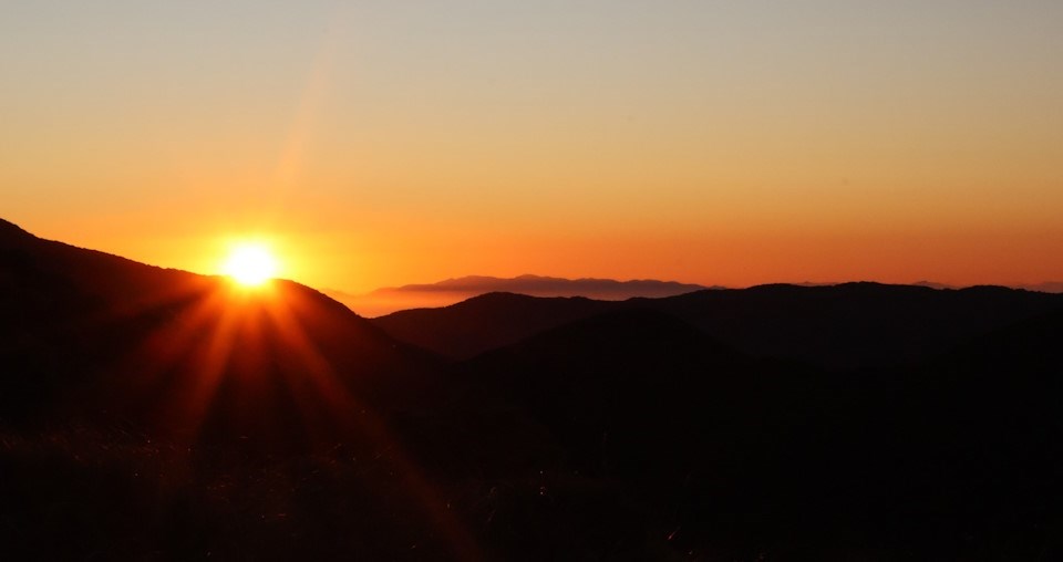
The hut clearly has a lot of love put into it, and everyone who visits has put tons of praise into the hut book. There's a historic older hut book in there too, and even a book of Footrot Flats comics. As well as chairs, lots of cooking gear, and more, this hut really feels like a home away in the bush.
Carkeek hut is also somtimes called the "Church of the Tararuas" and it certainly feels like it!
Day 4: Carkeek and beyond
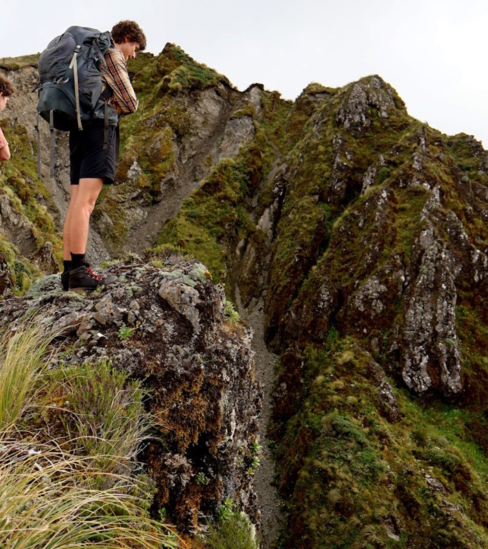
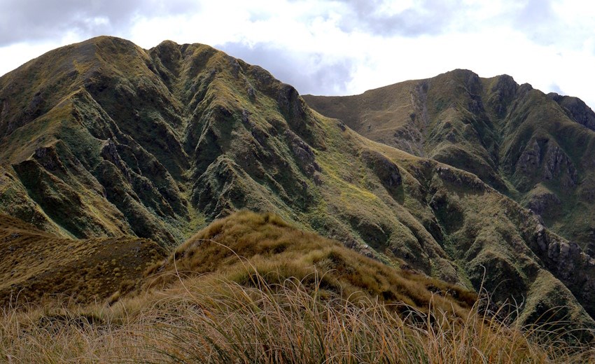
The next day involves following Carkeek ridge, which was pretty easy going. There were some impressive eroded drop-offs to gawk at along the way, and amazing views along the range ahead:
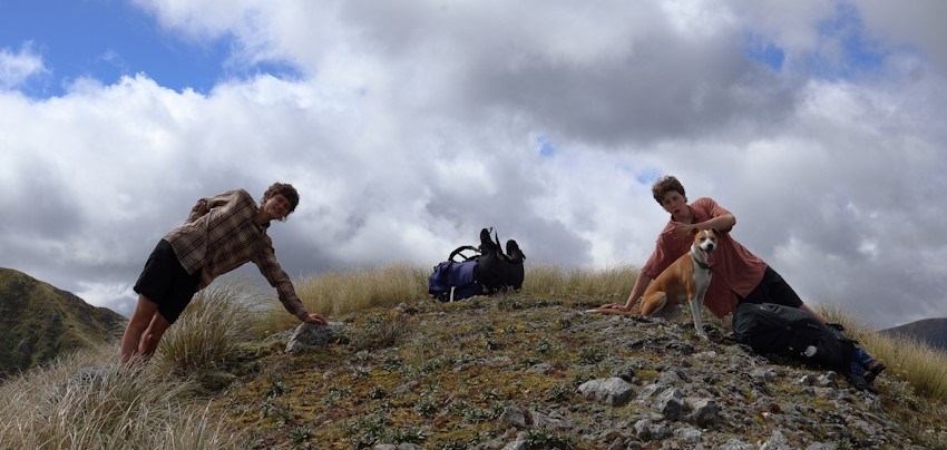
The two Thomsons (and Tilly!) pose on Thompson peak, making Thomson, Thomson & Thomson on Thompson:
At this stage we got some cell reception and were able to check the weather ahead. Looks like heavy rain! We had been so incredibly lucky so far with practically flawless weather for most of the trip.
Tommy, Lewis and Lochie were all still keen on doing the full 6 days, visiting some places like Dundas, Mangahao Flats, and maybe even North Otaki hut. Since I had my own PLB, cooker and tent, I decided to instead split off solo and make a faster exit out towards Masterton to avoid the incoming weather, and avoid getting anywhere near a river.
So up on Lancaster we split ways, and I continued on solo towards Mitre, and an eventual train trip home from Masterton.
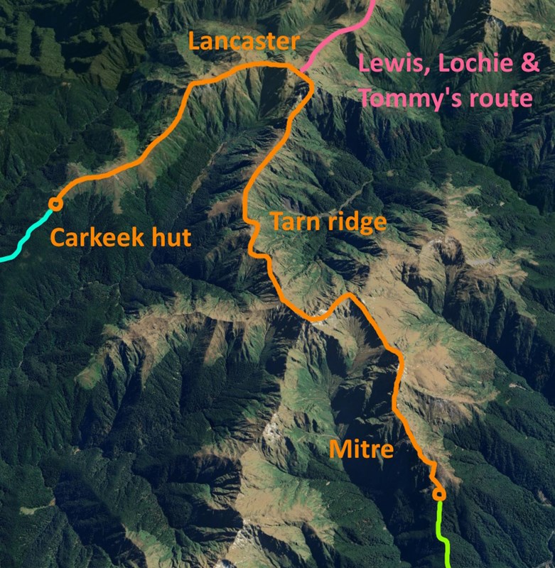
Tale of two endings, part 1
My goal was to spend the night tenting at the southern bush edge below Mitre in a little cleared tent spot I saw on a previous trip, so the rest of the day involved essentially doing the Northern Crossing from the Wiohine Pinnacles, along Tarn ridge, then up and over Girdlestone, Brockett and Mitre.
The Wiohine Pinnacles hold a special place in my mind since the last time I did them was scary as hell (solo, late in the day, with rough weather setting in). But this time around they were easy as! Turns out your mind state and the intensity of the weather can make a huge difference for making a track seem more imposing than it actually is. They still look pretty dramatic though for sure!
Tarn ridge hut is still in a pretty dire state, full of mould and with a broken water tank. Luckily there are instructions on how to manually get some water out of the tank, so you can at least refill your bottle without needing to drink from the pretty nasty tarns along the way.
Mitre was very impressive, with clear views in all directions! Though the wind was starting to set in very strong (and turns out would get even stronger during the night)
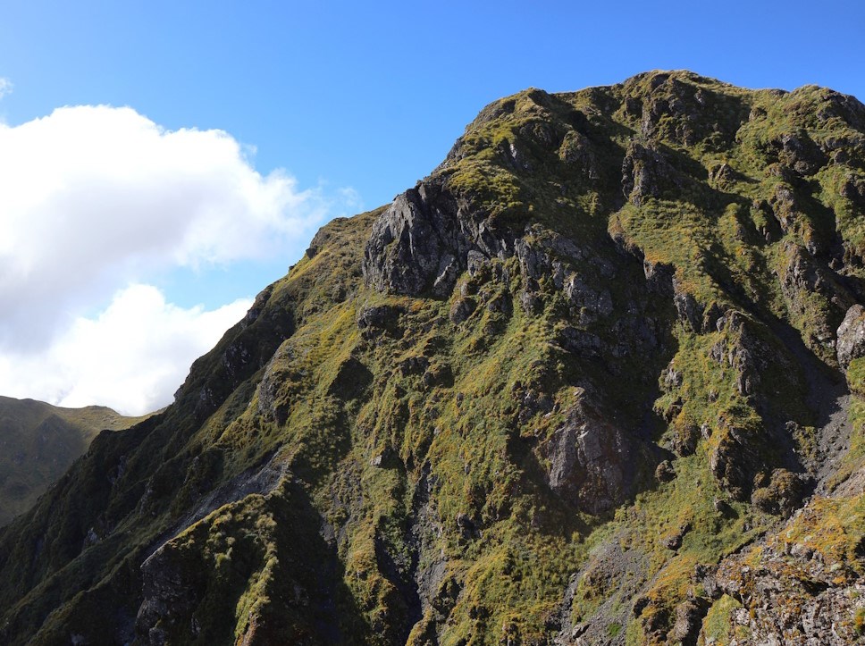
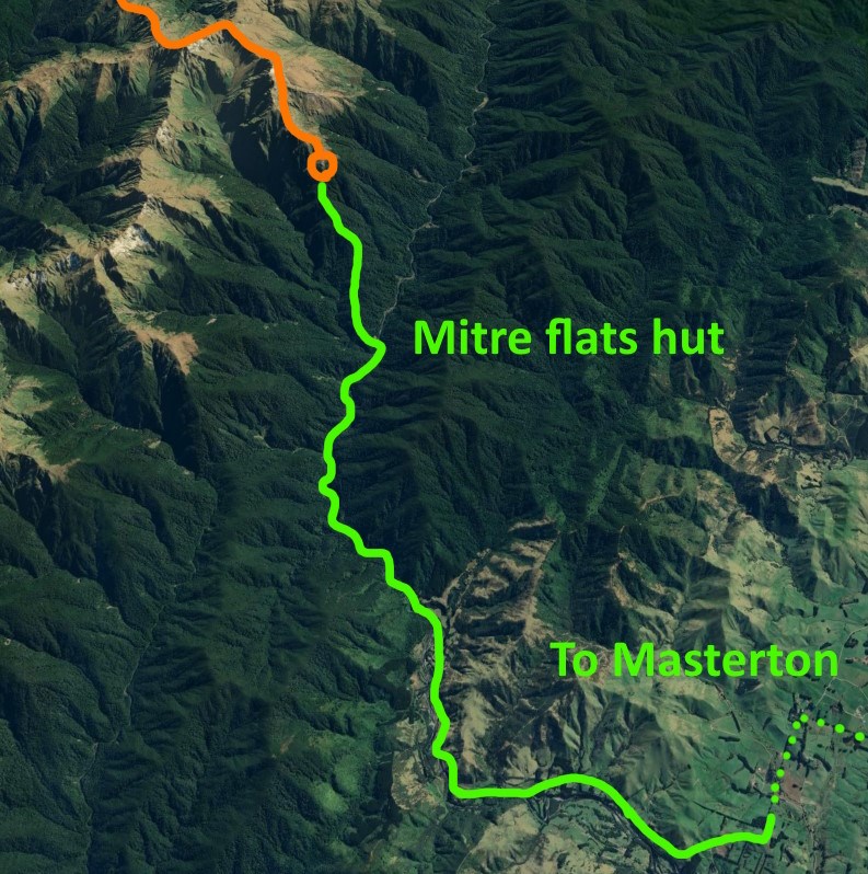
I set my tent up below the bush edge on the southern side of Mitre and had an absolutely wild night of gale winds. Turns out its very hard to sleep when your tent gets flattened by a gust every few minutes! Luckily the tent held out for the full night though, as the wind got even more intense in the morning and by the time I was out of the Mitre flats roadend it was above severe gale and whipping up dust tornados on the road!
Once I got into cell reception I was able to gather a new weather forcast and turns out the Tararuas is facing 120km severe gale winds, squally thunderstorms and heavy rain. It's mostly on the Eastern side of the range though so hopefully the rest of the group is doing better on the Western side.
On my way out to Masterton I was getting thrown around a lot on the road by the wind, but eventually got a hitch-hike from a digger driver who was heading home for the day early since the wind was making things dangerous for his work. I then spent a few hours chilling at Masterton station watching the wall of wind and rain come in over the range, wondering what conditions were like on the inside. I was certainly happy to be back in Wellington that evening as some thunder rolled through the city.
Hopefully the others don't have too rough of a time back in the range!
Tale of two endings, part 2
Someone from the rest of the group will extend this trip report with their expereince of the last couple of days!
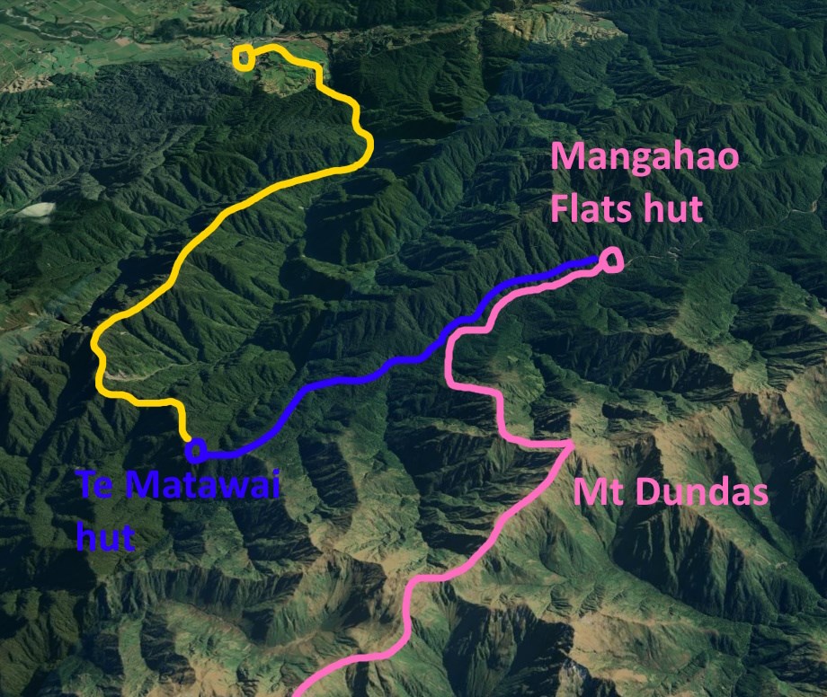
After splitting ways on Lancaster, the rest of the group continued on to Managhao Flats hut, then Te Matawai hut the next day, then out via Gable End ridge on the final day:
