By Jack Huygens, 07 April 2024
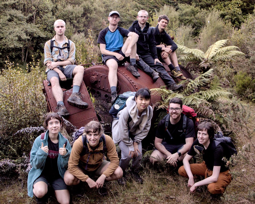
Trampers: Jack, James, Joe, Vic, Ben, Tommy, Caitlin, Emilie, Robbie, Leo, Dee, Daniel
This trip is about the unassuming, bush covered high point (not quite a peak) in the western Tararuas called Mick.
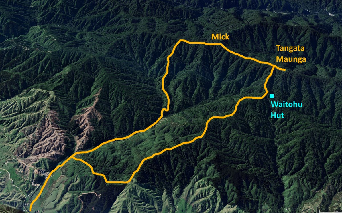
Maps and trip reports suggest the idea of a "Mick track" which could be in one of two places, in fact the official NZTopoMaps recently updated to confidently show this track in a new location.
Well on a sunny Sunday a group of 12 of us set out to go and explore this lesser-travelled pocket of the Tararauas.

1 - Find the start of the track. The quarry is private land, so do what I did and forget to ring them in advance, and just follow the "paper road" through farmland slightly down the road. It has horses!
2 - Follow the valley/river. Sometimes there's a huge, wide 4wd road through the grass, other times this road comes to an abrupt wall of scrub, then shows up again later. Take this opportunity to split the group into smaller groups, who all get separated at various stages along the river and in the bush. Collect them all and re-group when necessary.
3 - Follow the McSpur. There's a very old logging road that winds up the hill, with some lovely old trees (hang on why didn't they log these ones?), then this turns into an effectively un-tracked and un-marked spur, but who needs markers when the only direction is up! Just keep ascending and you'll get there!
3 - Meet the McRidge. This spur eventually hits a very obvious top point, where a quite clear ground track shows up, as well as a colourful range of custom makers (like blue paint, tin markers, and all colors of flagging tape).
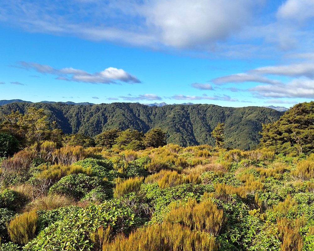
4 - Bask in the stunning views from Mick. A hiking pole wedged in the ground marks the bushy summit of Mick. It's identical to every other part of this ridge. Make sure to take a photo of the views.
4.1 - Find the plane wreck? We didn't have enough daylight hours, but on a future visit this is the stage where you would head down a nearby spur (where the "old' Mick track is) and go find an impressive plane wreck which is Mick's claim to fame.
5 - Get some real views on Tangata Maunga. Now we're talking! Once you reach a wall of Leatherwood you can follow a scrappy track a bit further to find some hydrology equipment and get some great views. Make sure to play the Tangata Maunga Weather Station pipe organ to signal your presence.
6 - Begin the descent. Despite not being marked on the map, the track down from Tangata Maunga is actually incredibly well cut, marked and easy to follow. It doesn't take long for it to turn into a wide & steep 4wd road.
7 - Bag Gundy's hut. Or is it Waitohu hut? Either way draw the VUWTC sheep-on-the-mountains-going-baaa logo in the hut book and have some food with a stunning view of Kapiti island.
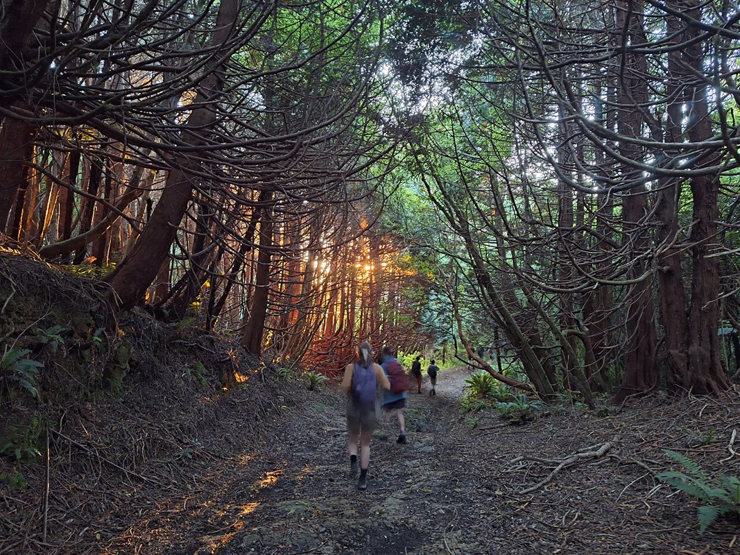
8 - Head home. Note: forgetting about daylight savings may result in an extra hour spent in the dark than planned, always bring head torches! But expect some beautiful orange sunset light pouring through the pine trees during your long forestry road descent back to farmland.
And with that, you've done it!
You've summited the mighty Mick.
Come along later in the year for a visit to Island Forks hut and a review of the "old Mick track" as we explore more of this bizarre nook of the Tararuas!
This trip report is dedicated to all the beginner trampers who ended up doing a whole 9+ hour day of mostly bush-bashing, ending in the dark, as one of their first tramping club experiences.


